Things to Do · For SG & MY
Barelang Bridge Day Trip: Six Bridges, Islands and Seafood
Six bridges, a string of islands and a haunting piece of history at the end of the road. The Barelang drive is Batam's best day out.
By the BatamGems editorsUpdated 6 October 2026 4 min read
At a glance
- Barelang is a chain of six bridges linking Batam, Tonton, Nipah, Setoko, Rempang, Galang and Galang Baru.
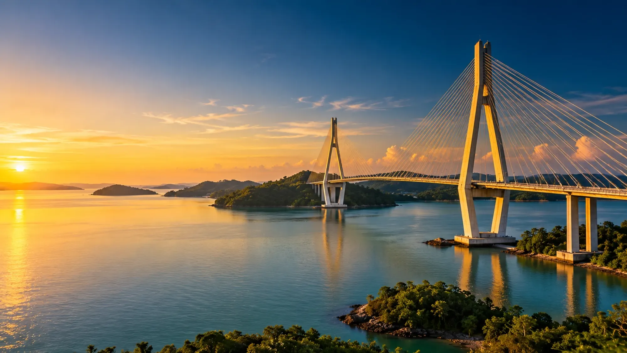
- The first and best-known, Tengku Fisabilillah Bridge, is a 642m cable-stayed bridge.
- Driving the full chain covers about 50km and takes roughly 50 minutes.
- Construction began in 1992; the bridges are named after Riau Sultanate rulers.
- Galang hosted a UNHCR refugee camp for Vietnamese refugees from 1979 to 1996.
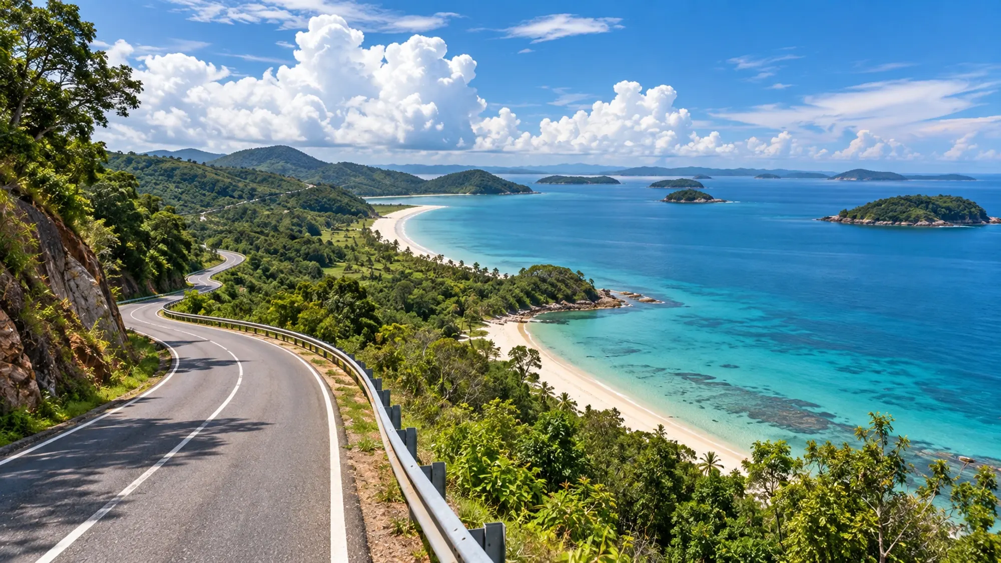
The Barelang drive takes you south from Batam across six bridges to the islands of Rempang and Galang. Budget half a day to a full day with a car and driver: about 50km and roughly 50 minutes of driving end to end, plus time for photos, the former Vietnamese refugee camp on Galang, and a seafood lunch.
What Barelang is
"Barelang" is short for Batam, Rempang and Galang. The six bridges were planned as development infrastructure and began construction in 1992; today they are Batam's most photographed landmark. Each is named after a ruler of the Riau Sultanate from the 15th to 18th centuries, according to Wikipedia and Indonesia Travel.
The six bridges in order
- Tengku Fisabilillah (Batam to Tonton): a 642m cable-stayed bridge with two tall pylons. This is "the" Barelang Bridge in most photos.
- Nara Singa (Tonton to Nipah): 420m cantilever bridge.
- Ali Haji (Nipah to Setoko): 270m girder bridge.
- Sultan Zainal Abidin (Setoko to Rempang): 365m cantilever bridge.
- Tuanku Tambusai (Rempang to Galang): 385m arch bridge.
- Raja Kecik (Galang to Galang Baru): 180m, the shortest.
The first bridge is roughly 35km from Batam city, according to Indonesia Travel.
How to get there
You need wheels. There is no practical public transport down the chain.
- Car with driver: the easiest option. Ask your hotel to arrange one and agree the hours, stops and price per car before you set off.
- Ride-hailing: fine for getting to the first bridge, but finding a ride back from Galang can be harder. Arrange a return in advance.
- Guided tour: many tours combine the bridges, Galang and a seafood lunch.
See our getting around Batam guide for apps and drivers.
A sample day
Morning: bridge one. Leave Nagoya or Batam Centre after breakfast. Stop near the Tengku Fisabilillah bridge for photos; morning light is softer and the heat is lower.
Late morning: across the islands. Continue over the smaller bridges to Rempang and Galang. Roadside stalls along the route sell local snacks, roasted corn and juices. Look for bilis molen, crisp anchovy pastries, sold at the Barelang Bridge souvenir centre.
Midday: Galang's refugee camp. From 1979 to 1996, Galang hosted a UNHCR-run camp for Vietnamese refugees who fled by boat after the Vietnam War. Today you can see a museum with documents, photographs and everyday objects, refugee boats, preserved buildings including a church and the Quan Am Tu pagoda, and a cemetery with 503 graves. It is about 50km from Batam city, and the site is spread out, so keep your car with you.
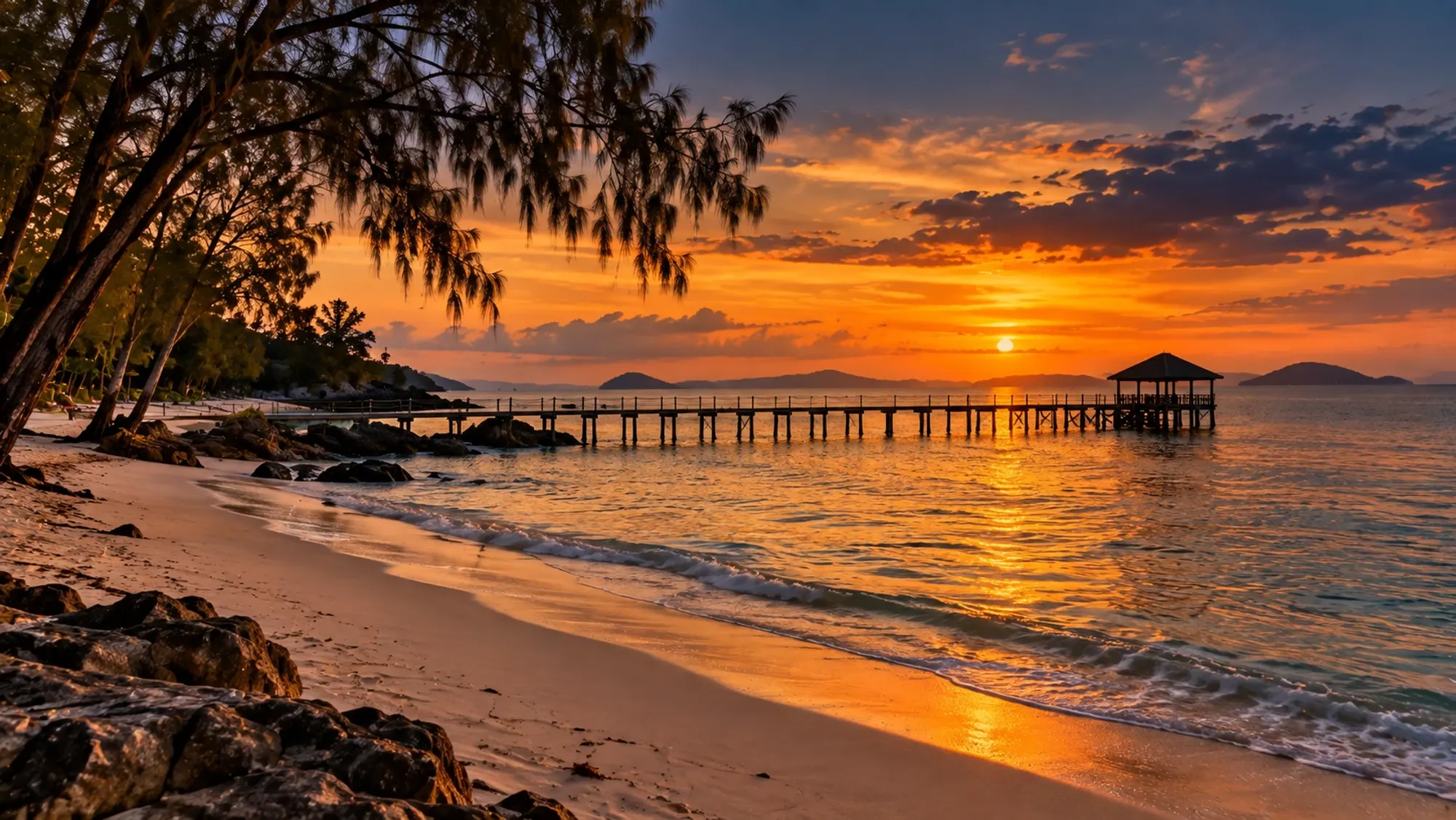
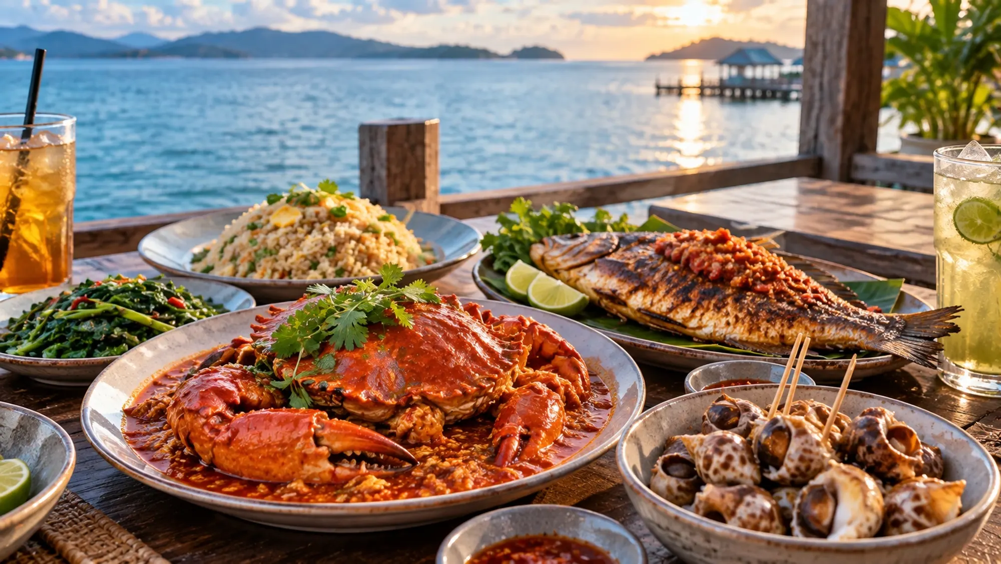
Afternoon: beaches and lunch. Rempang's Melayu Beach is a known stop. For seafood, Kopak Jaya 007 Kelong Seafood in Tembesi overlooks the Barelang bridge, according to BatamFast.
Late afternoon: back to bridge one. If you have time, return to the first bridge for sunset, a favourite moment for photographers.
How long to allow
- Bridges only, with photo stops: about 3 to 4 hours return from the city.
- Bridges plus Galang camp: most of a day.
- Plus beach and seafood lunch: a full day.
These are planning estimates. Traffic, weather and how long you linger will change them.
Practical tips
- Sun and heat: bring water, a hat and sunscreen. Start early.
- Cash: carry small rupiah notes for parking, snacks and any entry charges. Check fees on the day; we have not been able to verify current prices.
- Photos: stop only where it is safe and legal to pull over; ask your driver.
- Respect at Galang: it is a memorial site with graves; keep voices low.
- Toilets: use facilities at restaurants and larger stops.
- Data: signal can drop in places; download offline maps.
- Ferry home: do not plan the Barelang day for the afternoon you leave. The drive back to the terminals takes time.
The story behind the bridges
The project was initiated by B.J. Habibie, later Indonesia's third president. The bridges were originally meant to carry industrial growth south from Batam; instead, according to Wikipedia, they became tourist attractions in their own right. Their names honour rulers of the Riau Sultanate from the 15th to 18th centuries, reflecting the region's Riau-Malay culture.
What to pack
- Water and snacks for the car
- Hat, sunglasses and sunscreen
- Insect repellent for the coast and the Galang site
- Modest clothing if you plan to enter the pagoda or church at Galang
- Swimwear and a towel for a beach stop
- Small rupiah notes
- A power bank for photos and maps
Making it a slower day
If you have a long weekend, split the route in two. Spend one morning on the first bridges with a seafood lunch near Barelang, and a second day further south at Galang and the beaches. You will spend less time in the car in the midday heat.
Bridge facts at a glance
- Six bridges linking seven islands
- About 2km of bridge in total
- About 50km of road from first to last
- Main bridge: 642m long, with a 350m main span
- Construction began in 1992, a project initiated by B.J. Habibie, later Indonesia's third president
Coming from the ferry
If you arrive at Harbour Bay or Batam Centre, have your driver collect you there and head south from the city. If you are staying in Nongsa, allow extra time: the resorts are on the opposite, north-eastern side of the island from the bridges.
Who will enjoy it
- Couples and photographers: sunsets at bridge one.
- History lovers: the Galang refugee camp is unlike anything else near Singapore.
- Families: a long car day; break it up with a beach stop and a long lunch. See Batam with kids.
Pair the day with our things to do in Batam list for the rest of your weekend.
Questions people ask
How far is Barelang Bridge from Batam city?+
The first bridge is about 35km from Batam city, according to Indonesia Travel.
How long does it take to drive all six Barelang bridges?+
About 50 minutes for roughly 50km, without stops.
How do I get to Barelang Bridge?+
By car with driver, taxi or ride-hailing. Arrange your return in advance if you use an app.
What is the Galang refugee camp?+
A UNHCR-run camp that housed Vietnamese refugees from 1979 to 1996. It now has a museum, boats, preserved buildings and a cemetery.
Which is the famous Barelang bridge?+
The first, Tengku Fisabilillah, a 642m cable-stayed bridge linking Batam to Tonton.
Sources we checked
- Wikipedia – Barelang Bridge
- Indonesia Travel – Barelang Bridge
- BatamFast blog – Barelang Bridge
- Batam News Asia – Camp Vietnam on Galang Island
- Escapy Travel – Galang Refugee Museum
- BatamFast blog – Popular Batam seafood restaurants
- Indonesia Travel – Legendary Batam foods and where to eat them
- Grab – Top attractions in Batam
Rules, schedules and prices change. Check the official source before you travel.